When to Go
Shoulder Season Explained: The Trade-Offs Behind Smaller Crowds
Shoulder season can mean a calmer trip, but only when weather, daylight, access, local calendars and fallback options support the way you want to travel.
Expanded evergreen planning guide
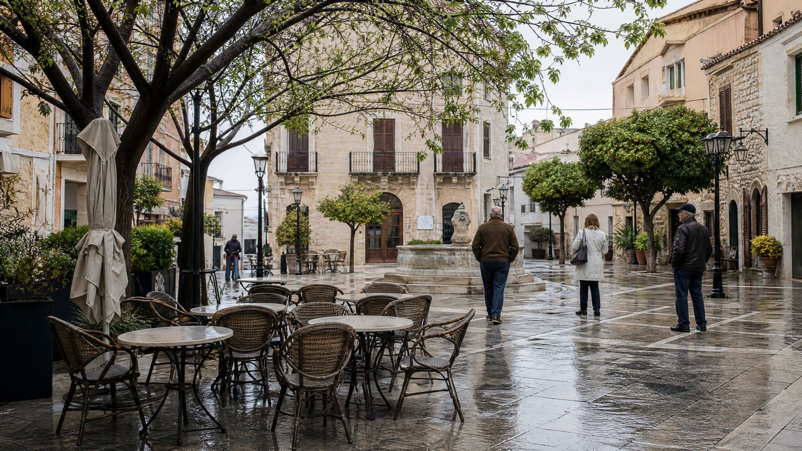
Shoulder season is the transition between a destination’s busiest and quietest demand periods. It may mean fewer people, but it does not make weather stable, preserve long opening hours or keep every route operating. The exchange is simple: a calmer place may require more deliberate planning.
Ask not “Which months are shoulder season?” but “Will this place, route and purpose work then?” The answer may differ between a compact city and its coast, a valley and a high pass, or a weekday and a holiday weekend. Treat shoulder season as a planning method, not a promise of peak-season access with fewer people. Begin with the seasonal travel collection.
Treat shoulder season as a demand transition, not a date
Tourism seasonality is the recurring rise and fall of visitor demand. Natural conditions—temperature, rainfall, snow, wind and daylight—can influence it, as can institutional patterns such as school breaks, public holidays and recurring events. A shoulder period lies between higher and lower demand; it may occur twice a year, once, or not in a useful form.
Fixed month-by-month advice therefore misleads. A coastal resort can reduce operations while a nearby city begins a cultural programme; a national holiday can fill a normally quiet week. A spring mountain trip can suit lower paths while higher routes remain affected by snow or unstable ground. Shoulder season belongs to a particular activity and area, not a country.
Fewer people are only one benefit. Year-round neighbourhoods may retain their everyday rhythm; visitor-dependent areas may have shorter operating periods. Choose according to your priority: unhurried walking, reliable outdoor access, family logistics, social energy or easy changes of plan.
Identify what you need the trip to deliver
Start with one primary purpose: the experience that would make the trip worthwhile if minor plans change. It might be an unhurried historic district, a museum-rich city, a low-exposure coastal visit or a high-elevation route. Naming it separates an essential from a pleasant extra.
Then identify its requirements. A city break may need walkable streets, indoor alternatives and local transport; a photography stay may need usable light and visibility; a remote route needs a reliable arrival and safe return. Children, limited stamina or a need for frequent breaks can make short transfers and low-effort options essential. This is more useful than asking whether a destination is “good” in a month.
List optional experiences separately. A sound shoulder-season itinerary remains satisfying when conditions shift, rather than attempting every peak-season activity. A longer stay in one base, as in a one-city, seven-days itinerary, creates options without a packed chain of transfers.
Use climate history without mistaking it for a forecast
Climate describes typical patterns over a long period; weather describes conditions at a particular place and time. Climate records help compare likely temperature, rainfall, wind or snowfall patterns and guide clothing or activity choices. They cannot say whether a particular afternoon will be dry, calm or clear.
Use history to ask practical questions: does a wet period require an indoor alternative? Do cool mornings and warmer afternoons favour layers? Can recurring wind affect an exposed path or water travel? Will recent rain change the footing? These are planning questions, not predictions.
Read the place at the scale you will move through
A regional average can conceal the critical conditions. Altitude, coast versus inland, shade, wind exposure and surface can change comfort and risk over a short distance. Rain may be manageable in a city with sheltered interiors and short walks, yet change an unpaved slope, stream crossing or narrow coastal path.
Separate comfort from safety. A damp market visit may work while an exposed ridge does not. For open water, higher ground, remote roads or long trails, current official warnings and local conditions outweigh historical averages. How far ahead weather is useful helps frame that check.
Put daylight on the itinerary
Daylight has a fixed daily limit. In transition seasons, its change can matter more than a modest temperature shift, especially away from the equator. A walk that fits a long summer evening may need an earlier start, shorter variation or firm turnaround a few weeks later.
Calculate sunrise and sunset for the exact place and date, then separate official daylight from usable light: the time in which you can navigate safely and comfortably. Cloud, rain, forest, valleys, tall buildings or a slow approach may reduce it. Twilight is not a substitute for daylight on unfamiliar ground.
Work backwards from a safe finish, including travel, breaks, a slower-progress margin and the final connection. A route using every minute of daylight has no resilience. In cities, use the brighter period for outdoor priorities and retain nearby indoor options.
Map the access chain before choosing a base
Access is not a single yes-or-no question. It is a chain: reaching the destination, reaching the activity, completing it, and returning if something changes. In shoulder season, any link can be less frequent, have shorter hours or be affected by conditions. A place can be nominally open while a road, ferry, trailhead facility, local bus, accessible restroom or food option is not available when you need it.
Map the chain for the experience that matters most. If a coastal walk requires a local connection, an exposed section and a return from a different village, each part needs to be realistic at that time. If a scenic area is reached by a single mountain road, a closure or delay may remove the whole day rather than just one stop. This does not mean avoiding places with limited infrastructure. It means choosing them only when their limits fit your tolerance for uncertainty.
| Link in the access chain | What can change in a shoulder period | Question to resolve before relying on it |
|---|---|---|
| Arrival and departure | Service frequency, final departures, weather disruption, road restrictions | Can you still arrive and return safely if one connection or driving condition changes? |
| The approach | Seasonal roads, path surfaces, tides, snow, construction, local transport hours | Is the starting point reachable by the method you plan to use? |
| The activity | Daylight, alerts, permits, equipment needs, exposure and surface conditions | Does the activity still suit the group’s experience and current conditions? |
| Essential support | Toilets, water, food, fuel, charging, seating and shelter may be limited | What do you need to carry or arrange so that a reduced service does not become a problem? |
| Exit and recovery | Fewer alternatives, shorter hours and thinner staffing reduce flexibility | What is the safe, realistic fallback if the first plan ends early? |
Work backward from the least-flexible link
The least-flexible link is the part of the day with the fewest alternatives: perhaps the only return connection, the one road to a trailhead, the final ferry, or a mobility-dependent transfer. Set the day around that link rather than around the most attractive stop. Leave a buffer before it. If losing it would require an unsafe hurried walk, an unplanned overnight stay or a difficult transfer, the plan is too brittle for the conditions.
A useful contrast is between a compact neighbourhood with several nearby indoor and outdoor choices, and a long out-and-back excursion with a single return. The former can absorb a shower, delayed start or early fatigue. The latter needs stronger evidence that access, weather and light will cooperate. Travellers building a lower-transfer itinerary can adapt ideas from the walkable neighbourhood planning guide.
Use the PACE test to decide whether the compromise is right
The PACE test is a shoulder-season decision framework: Purpose, Access, Conditions and Elasticity. It turns a vague preference for fewer crowds into a decision that acknowledges the trade-offs. Assess each element before choosing dates or locking the itinerary into one narrow outcome.
| PACE element | A workable answer | A warning sign | Practical response |
|---|---|---|---|
| Purpose | The main experience still makes sense outside the busiest period. | The trip depends on a seasonal activity that may not yet be viable or may already have ended. | Shift the date, choose a different base, or make another experience the main purpose. |
| Access | There is a realistic way in, through and out, with a margin. | One disrupted road, connection or facility removes the entire plan. | Reduce the distance, add a nearer alternative or select a better-connected area. |
| Conditions | Weather history and current outlook fit the group’s skills and equipment. | The plan treats exposure, wet ground, wind, heat or low visibility as minor inconveniences. | Choose a lower-exposure option and keep a clear trigger for changing plans. |
| Elasticity | The day has a satisfying fallback that does not require exceptional effort. | A cancellation or short delay turns the day into a loss. | Build a second option close to the base and protect unallocated time. |
Do not average away a serious weakness. Three strong answers do not compensate for a red flag in access or safety. If the primary purpose is non-negotiable and its access is uncertain, a different season may be the kinder choice. If the purpose is slow observation, food, neighbourhood life or museums, the same conditions may be a worthwhile exchange for a quieter pace. The PACE test is not a scorecard for finding a universal best time; it is a way to identify an acceptable compromise.
Choose the kind of shoulder season that fits you
Two transition patterns often suit different travellers. The rising shoulder, before the busiest period, may bring reopening services, wet or snowy higher ground and increasing demand. It can suit flexible city days and lower-key landscapes, but not a route needing settled conditions or a full timetable.
The falling shoulder, after the busiest period, may retain the season’s warmth but lose daylight and services. It can suit unhurried urban days and moderate outdoor time, but not travellers needing maximum light, late departures or many remote facilities.
These are tendencies, not calendar rules. Tropical, desert, polar, mountain, coastal and urban places have different thresholds. Assess a city and nature side-route separately. Pace, rest and proximity, discussed in slow travel with children, can matter as much as a headline activity.
Plan for a changing local calendar
Demand does not ease evenly. Weekends, school breaks, public holidays, religious observances, sporting fixtures, harvests and community celebrations can create concentrated peaks and alter transport, traffic or opening hours. Check the destination, transit corridor and overnight base; a regional pattern may not explain a local surge.
Treat festivals and rituals with care. Some are intangible cultural heritage: living practices, knowledge, ceremonies or festive events maintained by communities. Their significance does not come from visitor usefulness. If dates overlap, learn stated expectations through relevant local channels and follow instructions on access, photography, dress, sound and movement. Do not block entrances or assume a space is public.
A celebration can suit a traveller interested in local culture yet make a quiet-rest itinerary unsuitable. Decide whether it supports the purpose, and keep a separate plan if access, movement or energy makes participation inappropriate. Visitor etiquette during festival season places respect before consumption.
Build a flexible daily rhythm, not an overfilled schedule
Shoulder season rewards slack: unassigned time that lets you wait out rain, change route after an alert, pause for a tired child or shorten a day without losing the trip. Its value rises when daylight and services are tighter.
Give each day one anchor and one nearby alternative. Pair an outdoor city district with a close indoor option, or an exposed route with a shorter low-level walk or base day. The alternative must be practical from the same base, not another excursion dependent on the same conditions. The rainy-day city itinerary guide offers a useful model.
Plan rest as resilience. A rest day can absorb delay, allow gear drying or respond to a better-weather window without fatigue. It matters especially for families, older travellers, people managing chronic conditions and groups in unfamiliar terrain. Designing rest days develops this approach.
Make accessibility and care needs explicit
Accessibility is not proved by a broad label or one accessible attraction. It is an access chain: arrival, surface, gradients, toilets, seating, crossings, sensory environment, information, local transport, accommodation and return. Seasonal change can affect several links at once through less-frequent shuttles, slippery surfaces, shorter staffed hours or unavailable facilities.
Name the feature that makes the trip workable: step-free movement, a transfer method, a quiet place to pause, medication or food access, companion support, or avoiding a long outdoor wait. Ask the relevant local or official channel about that feature, stating the date, route, equipment or mobility aid and part of the journey concerned.
This helps everyone, including parents with pushchairs, people recovering from injury, travellers with limited stamina and those carrying gear. If the answer is uncertain, plan at a smaller scale. A quiet destination is not automatically an easy one.
Confirm volatile details at the right time
Some principles are durable: climate history gives context, daylight limits a day, and one weak access link can determine the itinerary. Forecasts, warnings, road and trail status, water conditions, transport, hours, accessibility arrangements, entry rules and event dates are volatile; check them close to travel.
Confirm in stages: identify essential conditions when considering dates; check the current picture through the relevant local or official channel in the days before departure; check again before an exposed activity if conditions change quickly. Agree on triggers for changing plan: poor visibility, an official alert, closure, missed connection, insufficient daylight or a group member’s discomfort.
A quiet trail or road does not imply lower risk. Carry appropriate clothing, water, navigation and communication arrangements; do not depend on mobile coverage in isolated areas. Leave a route and expected return with a trusted person where sensible. If a warning, closure or limitation conflicts with the plan, take the alternative.
Conclusion: choose an acceptable compromise
Shoulder season works best when you choose it for a reason more specific than smaller crowds. Define the purpose, map the access chain, separate climate patterns from live weather, count usable daylight and give the itinerary a real fallback. Then consider the local calendar and the needs of everyone in the group.
A successful transition-season trip may involve a shorter walk, an earlier finish, a simpler base or a day that changes shape. Those are not failures if they preserve what mattered most. Choose the period whose compromises you can accept in advance, confirm the details that can change, and let the destination’s weather, working life and community priorities set the terms of the visit.
Compact shoulder-season checklist
- Define one primary purpose and one satisfying fallback before choosing dates.
- Compare long-term climate patterns with the particular terrain and activity you intend to use.
- Calculate local daylight for the exact dates and protect a turnaround margin.
- Trace arrival, approach, activity, exit and essential support as one access chain.
- Use the PACE test; do not proceed with an unresolved access or safety red flag.
- Check local calendars without treating community events as visitor entertainment.
- Confirm volatile conditions through the relevant local or official channel close to departure and again before exposed activities.