When to Go
Travelling in India During the Monsoon: A Planning Framework, Not a Promise
A region-by-region method for shaping an India journey around rain, heat, disrupted access and official warnings—without treating a seasonal pattern as a promise.
Expanded evergreen planning guide
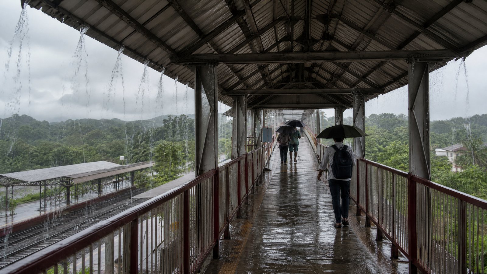
India during the monsoon can reward a traveller who values atmosphere and unhurried time. It can also expose an itinerary to intense rain, heat, waterlogged streets, altered transport and, in some places, flood or slope hazards. The useful question is whether a particular route gives you enough margin to change course safely.
This guide treats the monsoon as a planning condition rather than a dramatic backdrop. It separates durable context—terrain, usual seasonal progression and itinerary structure—from current-confirmation items, including warnings, river conditions, road status and the operation of a specific service. A seasonal pattern can help you choose a region and build slack, but it cannot say whether one exposed road is sensible today.
Decide whether this style of trip suits you
A monsoon itinerary works best for people who can accept substitution. A morning walk may become a museum, covered market or time in one neighbourhood; a scenic detour may become an extra night in the base. This is a different rhythm, close to RAAHCHAL’s slow-travel collection, where attention and recovery matter more than a fixed list.
It may not suit a traveller whose trip depends on non-movable connections, a single remote-road highlight or long daily transfers. Take a more conservative approach for young children, people who tire on wet ground, people managing medical conditions and travellers needing reliable step-free access. Rain is not automatically unsafe, but its consequences can create a hard access barrier.
Before selecting a route, write down your decision threshold: the point at which you will pause, stay put or take a simpler alternative. A threshold might be an official warning affecting the district, a confirmed road closure, a suspended water crossing, a forecast that removes the buffer before an essential onward journey, or a mobility need that wet terrain would materially compromise. Deciding this in advance reduces the temptation to press on simply because time has already been invested.
Read India as regions and routes, not one rainy season
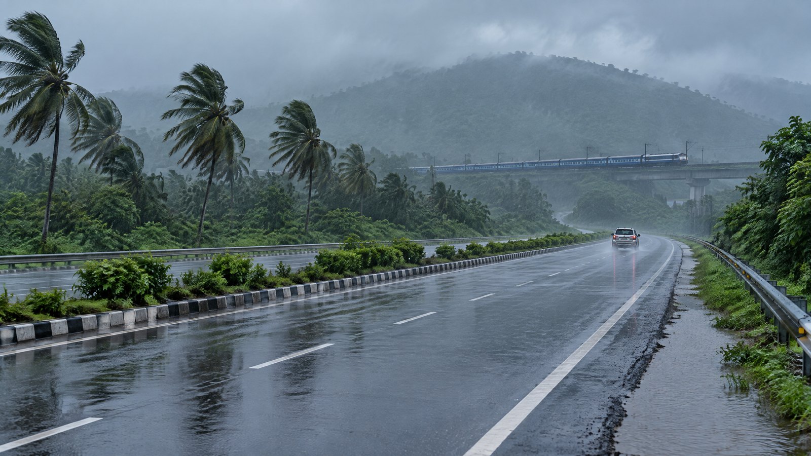
The southwest monsoon normally reaches Kerala around the start of June, advances northward in stages, and normally covers the country around the middle of July. Those dates are orientation, not an itinerary calendar. The India Meteorological Department uses observed rainfall, winds and satellite-derived conditions when it declares onset; the system does not switch on everywhere at once. Rainfall also varies greatly by place because topography and rain-bearing systems are uneven.
The southwest monsoon is a process, not a forecast
A normal onset date is a long-term reference point, not a district forecast or a count of dry hours and downpours. The June-to-September southwest monsoon supplies much of India’s annual rain, yet its distribution is far from uniform. Treat a monthly climate pattern as a reason to prepare, never as evidence that a route will be open on a named date.
A nowcast is a very short-range assessment of imminent conditions. A warning identifies a potentially hazardous situation and its area and period. Both are more useful for a same-day decision than an old travel article or national average.
Use a regional lens before adding places
Start with the physical character of every leg. A western coastal or windward mountain route may receive substantial orographic rainfall—rain enhanced when moist air rises over terrain. Hills can combine low cloud, drainage crossings and slopes that respond differently after sustained rain. Low-lying neighbourhoods and river-adjacent roads can be affected by water accumulation or changing levels.
This does not mean that whole regions should be labelled safe or unsafe. Assess steep sections, bridges, low points, gaps between towns, exposed viewpoints and only practical access roads. A compact route in one climate and transport region is easier to adapt than a long diagonal across several systems. For a broader comparison of dates, crowds and conditions, use the seasonal travel archive.
Separate ordinary rain from a safety decision
Rain asks for patience. Hazardous water, unstable ground, lightning exposure and a closure ask for a change of plan. Treating them as the same problem is one of the clearest monsoon-planning mistakes. A wet pavement may call for slower walking and footwear with grip. Water flowing across a road, a swollen stream, a damaged embankment, fallen power lines, a barrier across a track or a visibly disturbed slope require distance and restraint.
The National Disaster Management Authority advises travellers in hilly regions to use weather information and move quickly away from a landslide path or downstream valley. Its rainy-season advice also says to stay away from electric poles and fallen power lines, and to keep children out of or near floodwater. These points are reasons to stop treating uncertain terrain as sightseeing and to follow the responsible local authority’s direction.
Do not walk, ride or drive through floodwater merely because another person is attempting it. Depth, current, submerged damage and contamination are difficult to assess. Do not gather at a waterfall, gorge, riverbank, landslide site or damaged road after access has been restricted. During disruption, residents, road crews and emergency responders need space; an itinerary never outranks response work.
Apply the monsoon decision framework before every exposed leg
Use this article-specific framework: Place–Path–Person–Purpose–Pause. It is a five-part check that turns a vague “should we go?” into a defensible decision.
Place means the destination district and its terrain: coastal, urban low point, river valley, plateau or hill road. Path means the actual way there, including crossings and alternate routes rather than just the end point. Person means who is travelling and what weather, fatigue, access or health constraints they have. Purpose asks whether the activity is essential, time-sensitive, indoor, replaceable or purely scenic. Pause names the safe place and time buffer you retain if the answer is uncertain.
| Check | Question to answer | What raises exposure | Lower-exposure response |
|---|---|---|---|
| Place | Which district and landform are involved? | A low-lying area, river edge, steep slope or remote hill corridor | Choose an indoor or neighbourhood-based day in the existing base. |
| Path | What must remain passable? | A single mountain road, water crossing, late arrival or poor visibility | Travel in daylight, use a less exposed route, or wait. |
| Person | Who bears the consequence of delay or wet access? | Limited mobility, young children, medical needs, fatigue or a fixed onward journey | Reduce walking distance and keep a dry, accessible fallback. |
| Purpose | What is gained by going today? | A non-essential viewpoint, trail or riverside stop | Substitute an interior, a local meal or recovery time. |
| Pause | Where can you stay safely if conditions change? | No spare night, no charged phone, no essential items at hand | Stay at the current base until local conditions are clear. |
The framework is deliberately cautious when consequences are high. A short city walk with an indoor alternative can proceed under ordinary rain. A mountain transfer feeding an international departure the following morning has little tolerance for uncertainty. Exposure—not appetite for dramatic weather—sets the response.
Design an itinerary that fails gently
A resilient monsoon plan has slack: unused time, a viable alternative and enough essentials to absorb disruption. It prevents one wet afternoon from collapsing subsequent days. Place the least flexible commitments after the legs most exposed to road, rail or water disruption. Keep an unscheduled night before a consequential departure.
Put buffers where a delay would cascade
A buffer can be an extra night in a transfer city, a non-critical afternoon after arrival, or no same-evening connection after a long road journey. It is most valuable before a flight, medical appointment or leg with one practical road. Plan weather-sensitive movement for daylight when possible, giving more time to understand a changed situation.
Think in sequences. A road transfer to a rail station and second connection has two points where weather can alter the day. A local outing from a well-connected base has fewer. The former can suit a traveller with ample time, but not a tightly compressed first visit. Planning genuine rest days creates capacity.
Arrange days around bases, not constant hotel changes
A hub-and-spoke itinerary uses one well-connected base for short excursions rather than moving accommodation nightly. In wet conditions, it reduces packing and check-out deadlines, and makes it easier to wait through a warning. It suits visitors who prefer depth and a smaller area; a multi-region journey can work if it has wide buffers.
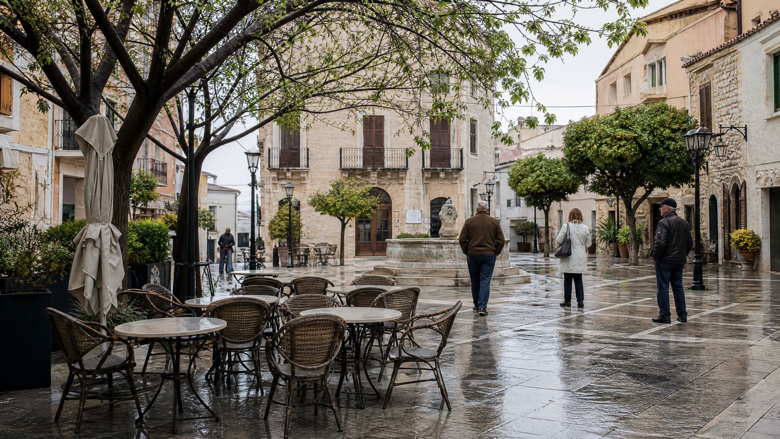
Choose a base with indoor possibilities within a short journey: cultural sites, libraries, galleries, covered streets, cafés, or markets where conditions permit. The aim is a coherent, lower-exposure rainy day. Walkable-neighbourhood planning helps identify a compact area usable between showers.
Treat transport as a live operating system
A historical monsoon pattern does not confirm whether a train, flight, road vehicle or boat will operate today. For every movement ask: what is the weather likely to do; is the route open; and is the specific service running? Weather answers the first; responsible authorities answer the latter two.
Confirm the exact service close to departure through its official channel. For a state highway, mountain road, boat landing or ferry, seek the local authority’s or operator’s current instruction. A routine timetable cannot assure a flooded approach road, and a city forecast may not describe a distant hill pass.
Carry essentials for an unplanned wait in hand luggage: protected documents, necessary medication, charged power, water, a suitable snack, dry layer, towel and accessible payment method. Keep electronics and documents in a dry inner pouch. This is not a reason to take a closed route.
Treat hills, water and outdoor activities as changing access systems
In monsoon conditions, access may matter more than the destination. An open town does not mean every approach road, trail, riverbank or viewpoint is appropriate. Sustained rain can affect hills, while river levels can change because of rain upstream. Coastal and boat activities can be affected by local water conditions.
Stop early around water, slopes and thunderstorms
Stop and retreat when water covers a path or road, a stream rises, a slope shows fresh debris, access is restricted, visibility makes route-finding uncertain, or lightning affects an exposed activity. Seek substantial shelter rather than continuing on an open ridge, field or beside a tall isolated object. Do not shelter beneath a tree during lightning.
If a closure leaves no sensible alternative, return to the base. An informal bypass can put a driver, guide or local resident under pressure to accept risk on your behalf. Avoid asking anyone to take that risk, crossing barricades or using drones near an incident. The goal is not to prove toughness; it is to preserve everyone’s margin of safety and dignity.
Protect health, comfort and energy across wet and hot days
Monsoon travel is not necessarily cool travel. Heat and humidity can make ordinary walking strenuous, while wet clothes and footwear add friction, blisters and fatigue. India’s national heat-safety advice recommends carrying water while travelling, drinking regularly, wearing light and loose clothing, and avoiding strenuous activity when outside temperatures are high. Build a shaded or indoor middle of the day when heat is affecting you, even if rain is also forecast.
Pack for recovery, not a perfect photograph
Use a small system that keeps critical items dry and lets your body recover. A waterproof inner pouch for documents and electronics is more reliable than trusting an outer bag alone. Add a rain cover as a second layer. Bring footwear with traction that you have already worn comfortably, enough socks to change after saturation, quick-drying layers, a compact towel and a bag for separating wet clothing. A dry change can matter more than a bulky rain garment after a long transfer.
Medication needs particular planning. Keep essential prescriptions with you rather than in checked or stored bags, protect them from water, and carry the information you personally need if a delay extends beyond a day. If you feel faint or unwell in heat, stop activity and obtain appropriate medical advice. This article cannot assess individual health needs; travellers with conditions affected by heat, exertion or disrupted routines should make a personal plan with a qualified clinician before departure.
Mosquito-bite prevention is also relevant in tropical and subtropical settings. Dengue is spread through infected mosquito bites, and its risk is dynamic rather than fixed to a monsoon label or a single region. Covering as much skin as practical, using an appropriate repellent as directed, and maintaining screens or nets where needed are sensible prevention measures. A fever or significant illness during or after travel deserves clinical advice rather than self-diagnosis; urgent symptoms require prompt care.
Plan for access, companions and local responsibility
Wet-season access is not evenly shared. Ramps, pavements, station approaches, unsealed paths and vehicle steps can become more difficult when wet, muddy or obstructed. A traveller using a wheelchair, cane, prosthesis, stroller or other mobility aid should treat promised access as a current-confirmation item, not a permanent feature. Ask the relevant venue, accommodation or transport provider about the immediate route, entrances, toilets and any interruption that affects your particular need; keep a lower-demand alternative nearby.
Travelling with children calls for shorter exposed periods, dry layers at hand, water and food before fatigue becomes acute, and a firm rule that floodwater is not a play area. Older travellers and people who fatigue quickly may benefit from a base with fewer steps, short distances to indoor refuge and no obligation to keep pace with a group. More broadly, slow travel with children offers a useful reminder that a smaller daily radius can expand what a family actually enjoys.
Responsibility includes how visitors behave when local systems are under strain. Do not photograph people in distress, block a narrow road to see damage, or treat a disrupted community as a spectacle. Ask before entering homes, religious sites or working spaces, especially when weather has made normal routines harder. Support a day’s plan with patience, clear communication and a willingness to leave room for residents and response teams.
What must be confirmed close to travel time
Use historical monsoon context to choose a flexible shape for the trip. Then shift to current information. In the final days before departure, before every inter-region move and whenever conditions change, confirm the relevant district’s official weather warnings and nowcasts; local disaster alerts; route status; and the actual transport service. The National Disaster Alert Portal distributes area-specific alerts from authorised agencies, while the Central Water Commission maintains flood forecasting information. These are useful inputs, not substitutes for a closure notice or an on-the-ground instruction.
A compact pre-movement checklist keeps the distinction practical:
- District: Have you read the full current warning or nowcast for the places you will pass through, including its validity period and advised action?
- Route: Have the responsible local or road authority and the specific transport service indicated that the exposed part of the trip is operating?
- Exposure: Does today’s plan involve floodwater, a river edge, a steep slope, lightning-prone open ground or a single access road?
- Buffer: If the plan changes, do you have daylight, a safe place to stay and sufficient essentials for an extra night?
- Person: Does the plan remain appropriate for every traveller’s mobility, health, energy and care needs?
- Alternative: Can you name a lower-exposure indoor or nearby option before leaving the base?
Do not treat a generic forecast icon, an old social post or a national news report as a route decision. When official or local instructions conflict with the day’s plan, the instruction takes precedence. For a helpful companion piece on the limits of advance prediction, read how far ahead weather information is useful.
Conclusion: let safety and flexibility set the rhythm
A well-made monsoon journey is not built around certainty. It is built around a compact region, fewer brittle connections, a known pause point and the willingness to exchange one activity for another. Use the Place–Path–Person–Purpose–Pause framework before exposed legs, protect time around consequential departures, and confirm live conditions with the appropriate local or official channel. When the answer is unclear, staying put is a valid travel decision. It protects your journey, respects the people managing disruption and leaves space for India’s rainy season to be experienced on realistic terms.