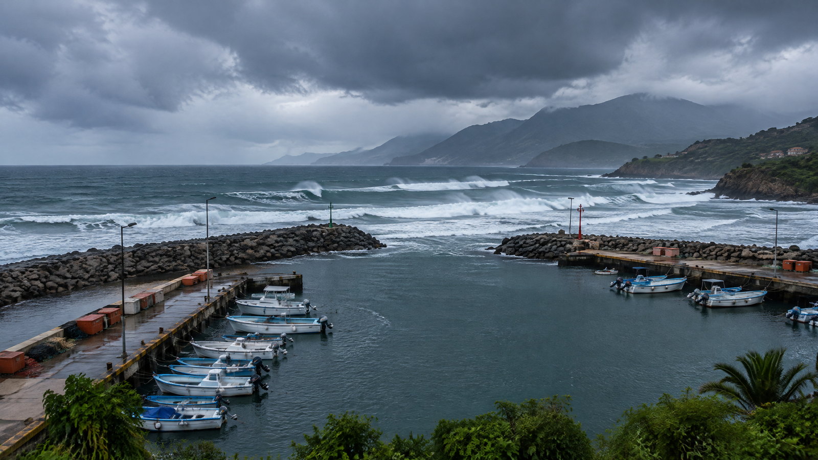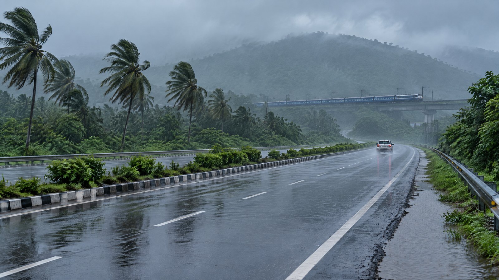
When to Go
Bay of Bengal deep depression update: inland weakening, heavy rain and Puri’s sea-bathing ban
By the evening of 24 September the system was inland over south Odisha and adjoining north coastal Andhra Pradesh, but heavy rain, squally wind, rough seas and a specific Puri beach restriction remained active.
Official IMD update issued 24 September 2026 — weakening forecast, heavy-rain and rough-sea impacts remained active
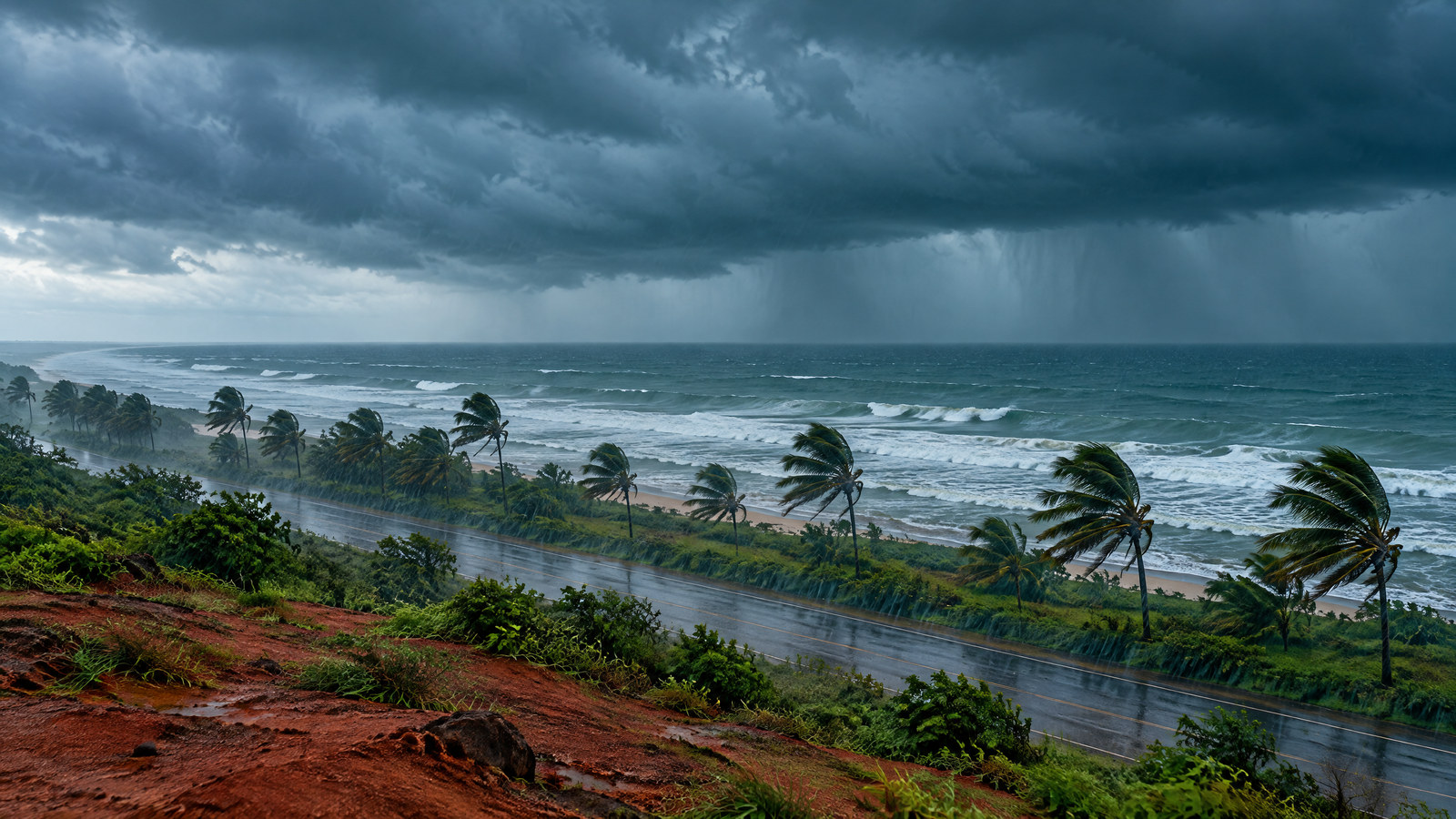
What changed since the first report
The first version of this page recorded the Bay of Bengal deep depression before its forecast coastal crossing. By 17:30 IST on 24 September 2026, the India Meteorological Department located the system inland over south Odisha and adjoining north coastal Andhra Pradesh, about 40 kilometres northeast of Koraput and 60 kilometres northwest of Parvathipuram. IMD forecast gradual weakening into a depression, followed by further weakening during the next day.
Weakening does not mean immediate normalization. The 20:45 IST bulletin continued to warn of heavy to extremely heavy rain across parts of Odisha and Chhattisgarh, heavy rain in north coastal Andhra Pradesh and other inland states, squally winds, rough seas, low-to-moderate flash-flood risk and possible effects on road, rail, small-vessel, helicopter and tourism activity.
A new, specific visitor restriction also emerged in Puri: district authorities hoisted red flags and prohibited tourists from bathing in the sea during the stated two-day danger period. Lifeguards were deployed and visitors were warned not to enter the turbulent water. That is a concrete activity restriction, but it is not evidence that the entire city, every hotel or all land access to Puri was closed.
This revision preserves the permanent URL, original publication date, author and first-party cover. It replaces pre-landfall framing with observed inland status and a later official reference time. RAAHCHAL's monsoon travel framework remains the broader planning guide.
Observed status and weakening forecast
At 17:30 IST, IMD observed the center near 19.1°N, 83.0°E. Maximum sustained surface wind was 50–60 kilometres per hour with gusts to 70 kilometres per hour. The forecast track expected the system to move north-northwest and weaken into a depression during the next six hours, then continue weakening during the following 24 hours.
The distinction between observed and forecast status is essential:
| Element | Status in Bulletin 17 | Planning meaning |
|---|---|---|
| Position | Observed inland over south Odisha and adjoining north coastal Andhra Pradesh at 17:30 IST | Coastal crossing had occurred; route risk was shifting inland |
| Intensity | Observed deep depression with 50–60 km/h winds, gusting to 70 km/h | Damaging conditions were still possible despite inland movement |
| Weakening | Forecast, not completed at the issue time | Do not treat a predicted downgrade as proof that roads and slopes are safe |
| Rain corridor | Multi-state heavy-rain warning extended beyond the coast | Inland trips may face flooding, visibility loss, landslides and transport regulation |
| Sea condition | Rough to very rough along exposed coasts through the morning of 25 September | Coastal recreation and small-vessel plans remained unsafe or restricted |
A cyclone's wind category can fall faster than rivers, drains and slopes recover. Travelers should use the latest district and operator status even after a downgrade.
The rain corridor moved inland
The later bulletin broadened the practical itinerary from a coastal-crossing story to an inland rain-and-transport story. IMD warned of heavy to very heavy rain, including isolated extremely heavy rain in parts of south Odisha and south Chhattisgarh on 24 September. Heavy rain continued in the outlook for Odisha, Chhattisgarh, north coastal Andhra Pradesh, Telangana, Jharkhand, Gangetic West Bengal, east Madhya Pradesh and Vidarbha on different dates.
This does not mean every place in every named state has the same risk. Forecast wording such as “isolated” and “a few places” matters. The correct route-level question is whether your district, watershed and travel corridor are inside the active warning and whether authorities have imposed a restriction.
The flash-flood guidance named watersheds and neighbouring areas across several states, including districts in south Odisha, Puri, coastal Andhra Pradesh, Chhattisgarh, Jharkhand and Gangetic West Bengal. Saturated soil and low-lying surfaces can create runoff after the heaviest cloud has moved away.
For travel between Visakhapatnam, Araku, Koraput, Jagdalpur, Bhawanipatna, Raipur or smaller hill and tribal-region destinations, plan by segments. A main station may operate while the last road is affected. A highway may be open while a low bridge or local approach is regulated. The forecast-horizon guide explains why a district warning cannot be reduced to one phone-app icon.
Puri: a beach restriction, not a city-wide closure
Puri authorities placed the district under a red-zone warning for the stated two-day period and prohibited tourist sea bathing. Red flags were hoisted, lifeguards used loudspeakers and the administration emphasized preventing drowning in rough, high seas.
The restriction should be read narrowly and obeyed fully:
- tourists should not enter the sea for bathing during the prohibition;
- red flags and lifeguard directions control beach behavior;
- rough surf, high waves and strong currents can be dangerous even close to shore;
- fishermen were directed to keep boats and equipment secured;
- the report did not announce a blanket closure of every hotel, temple, railway service or city road.
Do not turn the restriction into a storm-viewing opportunity. Beach edges, seawalls and informal access points can be hazardous. A section without a lifeguard is not an exemption.
If Puri is part of a broader Odisha itinerary, verify both beach access and the inland route. The sea restriction may be clear while road and rail status continues to change with rainfall. For non-marine plans, use the rainy-day city itinerary only when local movement is officially safe.
Road, rail, air and helicopter decisions
IMD said road and rail traffic may be affected by heavy rain and squally wind. It also noted that helicopter services, small ships, trawlers, boats and onshore/offshore operations may be affected. These are conditional impact statements, not proof that every service has stopped.
The earlier version of this page recorded one named train cancellation for 23 September. That historical fact remains part of the revision record, but it should not be projected onto 24 or 25 September without a fresh operator notice. Check the exact train and date.
Use a three-part transport test:
- Service status: Is the exact train, flight, bus or helicopter operating?
- Access status: Can you safely reach the terminal and your destination after arrival?
- Recovery status: Is there a safe place to wait if the segment is regulated or delayed?
A technically operating train can still deliver you after the final road connection ends. A flight can land while heavy rain constrains ground transfer. Avoid the last possible connection and prefer daylight for routes with flood, slope or debris exposure.
RAAHCHAL's train-versus-flight guide can help with normal mode choice, but an active official warning overrides general preferences.
Sea, fishing and coastal activity
Bulletin 17 maintained rough to very rough sea conditions across the west-central and northwest Bay of Bengal and along the north Andhra Pradesh, Odisha and West Bengal coasts through the morning of 25 September, with gradual improvement expected afterward. Fishermen were advised not to venture into the named waters and coastal stretches during that period.
“Improvement expected” is a forecast. It is not permission to resume a boat trip at a particular hour. Port, fisheries and local district authorities determine operating access. Check the exact harbor and activity after the forecast window.
Travelers should avoid:
- sea bathing where prohibited;
- informal boat or fishing trips during the warning;
- breakwaters, jetties and exposed viewpoints;
- crossing barricades or ignoring red flags;
- assuming a calm interval means the warning has ended.
The coastal weather and sea-state guide explains why swell and current can remain dangerous after local rain eases.
A conservative movement plan
Postpone unnecessary movement when the route crosses a flood-prone lowland, steep cut, river approach or poorly lit road during active rain. If movement is essential, travel with daylight, additional fuel, water, food, medication, power and an identified safe stop.
Do not cross moving water on foot or in a vehicle. Avoid sheltering under trees during lightning. Keep away from damaged power infrastructure and follow local evacuation or shelter instructions where issued.
Travelers with children, older adults, limited mobility or health needs require more margin than an able-bodied solo traveler. A long wait in a vehicle or station can be the main risk even when the route eventually reopens.
A weakening cyclone supports planning for recovery, not immediate normalization. Give authorities time to inspect roads, bridges, public lands and coastal facilities.
Practical checklist for 24–26 September
- [ ] Read the newest IMD and district warning before every major movement.
- [ ] Verify the exact train, flight, road and local transfer separately.
- [ ] Do not enter the sea at Puri while the prohibition and red flags remain.
- [ ] Avoid exposed coast, informal boats and storm-viewing points.
- [ ] Prefer daylight and carry a safe waiting plan on each side of a vulnerable segment.
- [ ] Keep medication, water, food, power and offline travel details accessible.
- [ ] Confirm accommodation access using the exact road you will travel.
- [ ] Treat weakening as a forecast until newer observed status and local reopening notices confirm recovery.
What this revision does not claim
This page does not say the entire multi-state region is closed. It does not claim every road or railway is disrupted, that Puri city is shut, or that the beach prohibition continues indefinitely. It does not turn a forecast weakening into a guaranteed timeline.
It records the observed 17:30 IST inland position, the 20:45 IST warning, the continuing rain/wind/sea impacts and the local Puri sea-bathing prohibition reported on 24 September. Newer official notices take precedence.
For related seasonal reports, use When to Go. For RAAHCHAL's versioning, source privacy and correction rules, read the editorial policy.
Status note
Verified against IMD National Bulletin 17, issued at 20:45 IST on 24 September 2026, and direct official quotations in the dated Puri restriction report. The system was still a deep depression at the observed reference time and was forecast to weaken. Heavy-rain, rough-sea and transport effects remained possible; Puri's confirmed action was a temporary prohibition on tourist sea bathing, not a blanket city closure.