When to Go
Tropical Storm Nolo in Hawaiʻi: island park, trail and camping closures from 24 September
A Hurricane Watch for Hawaiʻi County and official public-land closures on Hawaiʻi Island, Maui and Molokaʻi require island-by-island planning rather than a blanket assumption about all travel.
Hurricane Watch and official land closures current to 24 September 2026 — reopening depends on later assessments
The short version
Tropical Storm Nolo was strengthening south of Hawaiʻi early on 24 September 2026. The Central Pacific Hurricane Center's 05:00 HST advisory placed Hawaiʻi County under a Hurricane Watch, meaning hurricane conditions were possible within the watch area. The advisory forecast heavy rain, dangerous flooding and mudslides, storm surge and life-threatening surf, while emphasizing that the track and impacts could still change.
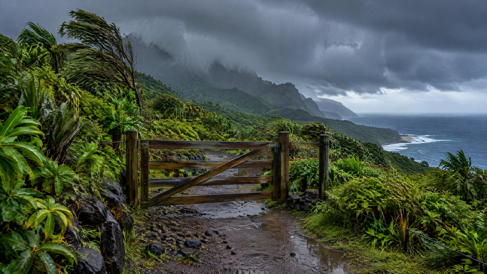
A separate Hawaiʻi Department of Land and Natural Resources notice converted that hazard into concrete access consequences. DLNR said all state parks, camping areas, forest reserves, Nā Ala Hele hiking trails, wildlife sanctuaries, natural area reserves, hunting areas and game-management areas would close on Hawaiʻi Island from Thursday, 24 September, and on Maui and Molokaʻi from Friday, 25 September. It suspended issuance of state forest and state park camping permits until further notice.
These closures do not prove that every airport, road, hotel, shop or private attraction across Hawaiʻi is closed. They do prove that a normal hiking, camping or public-land itinerary on the named islands cannot be treated as available. The responsible plan separates the weather watch, the public-land closure and the status of each remaining transport or accommodation segment.
This is a dated status page. Reopening depends on damage assessment and later official notices. RAAHCHAL's weather forecast planning guide explains how to use changing forecasts without treating an early track as a promise.
A watch is not a warning, and it does not mean risk has ended
A Hurricane Watch means hurricane conditions are possible in the named area. It does not state that they are certain, and it is not the same as a Hurricane Warning. At 05:00 HST, Nolo had maximum sustained winds near 95 kilometres per hour and was stationary south of the Big Island, with a north or north-northeast motion expected later before a sharp westward turn near the island.
The forecast was consequential because the system was expected to strengthen. For Hawaiʻi Island, the advisory projected very large rainfall totals, with catastrophic life-threatening flooding and mudslides possible. Maui also faced life-threatening flooding and mudslide potential. Other islands had lower forecast totals but still carried isolated flooding risk.
| Signal | Verified status | Practical interpretation |
|---|---|---|
| Hurricane Watch for Hawaiʻi County | Hurricane conditions were possible starting as early as Friday night | Prepare and monitor; do not report a confirmed hurricane impact before it occurs |
| Heavy-rain forecast | Extremely high totals were possible on Hawaiʻi Island and substantial totals on Maui | Flood and slope risk can close routes before strong wind arrives |
| Storm-surge forecast | Coastal flooding of normally dry areas was possible in Hawaiʻi County | Avoid exposed shoreline plans and check coastal access separately |
| Dangerous swell | East- and south-facing shores of the Big Island could receive life-threatening surf | A beach that looks accessible is not necessarily safe for entry |
| DLNR closures | Named state lands and camping functions were closed on island-specific dates | Do not generalize the closure to every public or private facility statewide |
Exactly what DLNR closed
The DLNR notice is unusually broad within its own jurisdiction. It covers state parks, camping, forest reserves, Nā Ala Hele trails, wildlife sanctuaries, natural area reserves, hunting and game-management areas on the named islands. That means a traveler should not try to find an informal side entrance or assume a trail is available because a map still displays it.
The closure timing differs:
- Hawaiʻi Island: closures start Thursday, 24 September;
- Maui: closures start Friday, 25 September;
- Molokaʻi: closures start Friday, 25 September;
- camping permits: new issuance is suspended until further notice.
DLNR said affected camping nights would be credited to account holders and that lands would reopen only after damage assessments. That is not a promised reopening hour. Successive storms can slow inspections, debris clearance and facility checks.
The closure also reflects risks beyond a trail surface: rising streams, flash flooding, falling trees, storm surge, high surf and dangerous road conditions. Remote-area travelers were advised to shelter in place where leaving would create greater danger.
For future low-impact trail planning after reopening, use RAAHCHAL's slow travel and protected landscapes guide. During the closure, access discipline takes priority over itinerary design.
What may remain open
The sources do not declare a statewide shutdown. Airports, hotels, grocery stores, medical facilities, county roads and private attractions operate under different authorities and conditions. Some may remain open; others may change status independently.
Therefore, avoid these unsupported shortcuts:
- “Hawaiʻi is closed.” The closure has an island and land-management scope.
- “The airport is closed.” The cited notices do not say that.
- “The storm will make landfall.” The advisory described a forecast, not a completed event.
- “Every beach is closed.” The article records serious surf risk and specific DLNR closures, not a universal beach order.
- “The watch means no travel is allowed.” A watch is a hazard signal, while operational decisions come from relevant authorities.
A traveler staying in a safe hotel may have a viable shelter plan even when hiking is unavailable. A traveler booked at a remote cabin, campground or property reached by a flood-prone road needs a different decision. Location and access matter more than the island name alone.
Camping, hiking and outdoor plans
If your itinerary depends on a state campsite or trail, treat it as unavailable during the closure. Do not substitute an unmanaged coastal path, forest road or informal viewpoint. The same weather that closes a managed area can make the alternative harder to assess and slower to rescue.
For camping, protect your essentials before trying to protect the booking. Move medication, identity documents, dry clothing, food and power into a secure indoor location. Do not wait until rain is intense to leave a low campsite. Where DLNR advises remote users to shelter in place, follow local emergency direction rather than making an unsupervised move through deteriorating conditions.
Hiking should resume only after the controlling authority reopens the land. A storm can leave unstable trees, damaged bridges, washed-out tread, contaminated water and blocked emergency access after sunshine returns. A social-media photograph of a clear trail is not a reopening notice.
Use the responsible hiking preparation guide after the closure is lifted; it is not permission to enter a closed site.
Transport and accommodation planning
Begin with the location where you will sleep safely, then test the transport chain around it. Confirm whether the road, airport transfer, ferry, rental return and accommodation reception are operating. A flight operating normally does not prove the final road is usable, and a hotel remaining open does not prove a planned trail or campground is accessible.
Keep the day reversible. Avoid an arrival that depends on the last ground connection if rain timing is uncertain. If you are already on an affected island, conserve fuel and battery and avoid unnecessary driving through drainage corridors or coastal surge areas.
Travelers should distinguish three kinds of messages:
- Hazard message: NHC/CPHC describes wind, rain, surge and surf risk.
- Access message: DLNR, counties and transport operators describe closures or service changes.
- Shelter message: emergency managers describe when to remain in place or relocate.
One does not replace the others. Check each relevant source before a decision. RAAHCHAL does not provide booking links or external calls to action; the Travel Basics desk supplies first-party planning frameworks only.
A practical decision sequence
If you are not yet on the island, identify whether the trip's central purpose depends on closed state land. If it does, postponing or restructuring may be more realistic than arriving with no lawful substitute. If you are already on the island, prioritize a secure indoor base and current local instructions over sightseeing.
If a booking is affected, save the closure notice, booking terms and receipts. The DLNR notice described account credits for missed state camping nights, but it did not define the terms of unrelated private bookings. Do not assume one policy applies to another provider.
Families, older travelers and people with mobility or medical needs should plan for longer indoor periods, interruptions to local transport and possible power issues. Carry more margin than the minimum forecast period because access inspections take time.
Practical checklist
- [ ] Check the newest NHC/CPHC and local emergency message before moving.
- [ ] Treat named DLNR lands as closed on the stated island dates.
- [ ] Do not enter a closed trail, park, campsite, reserve or unmanaged substitute.
- [ ] Verify the exact airport, road, ferry and accommodation segment independently.
- [ ] Move essential medication, documents, water, food and power indoors early.
- [ ] Avoid exposed shorelines, stream crossings and steep routes during heavy rain.
- [ ] Keep a safe shelter or waiting option that does not depend on one final connection.
- [ ] Wait for an official reopening notice and damage assessment before resuming outdoor plans.
Why the islands need separate treatment
Hawaiʻi is an archipelago, and Nolo's forecast effects were not uniform. Hawaiʻi Island carried the Hurricane Watch and the largest forecast rainfall. Maui had a substantial rain and flood forecast. Molokaʻi shared the later DLNR closure date. Other islands still needed monitoring, but the cited notice did not assign them the same land-closure scope.
An island-by-island article avoids both complacency and exaggeration. It helps a traveler cancel a closed hike without falsely claiming that every service across the state has stopped.
For seasonal context beyond this event, see When to Go. For how RAAHCHAL stores source URLs privately and corrects dated pages, read the editorial policy.
Status note
Verified against Tropical Storm Nolo Public Advisory 16 and Hawaiʻi DLNR's 23 September closure notice. Hawaiʻi County was under a Hurricane Watch at the reference time. DLNR closures began on different dates for Hawaiʻi Island and for Maui/Molokaʻi, and reopening depended on later damage assessment. The sources did not establish a statewide closure of every road, airport, hotel or private attraction.