When to Go
Hurricane Polo off Mexico: Pacific coast port closures and travel planning on 24 September
Polo's core was beginning to move away from southwestern Mexico, but official port closures, cancelled water activities, dangerous surf and flooding risk remained the controlling travel facts.
Official restrictions current to 24 September 2026 — port and activity status can change without notice
The short version
Hurricane Polo remained an intense hurricane off Mexico's Pacific coast on 24 September 2026. The National Hurricane Center's 09:00 CST advisory placed its center about 315 kilometres west-southwest of Zihuatanejo and about 245 kilometres south of Manzanillo. The advisory said the core was expected to move away from the coast during the day, but tropical-storm conditions, heavy rain, flooding, mudslides, life-threatening surf, rip currents and coastal flooding remained possible across exposed areas.
Mexico's federal emergency-management communiqué recorded a separate operational fact: authorities had cancelled aquatic and recreational activities and ordered port closures in the regions under Polo's influence. It also described navigation restrictions and reduced movement where conditions required them. Those official actions matter more to a traveler than the cyclone category alone.
The responsible interpretation is not “the coast is closed” and not “the danger has passed.” Port restrictions can differ by port, vessel class and time. A resort, airport or inland road may remain open while a harbor, beach activity or small-vessel movement is stopped. Conversely, Polo's center moving offshore does not remove the rain, slope, surf or coastal-flooding hazards that reach beyond the eye.
This page is a dated status report rather than a live booking tool. Use it to understand the decision framework, then verify the exact place and service immediately before moving. RAAHCHAL's weather forecast planning guide explains why a newer official notice should always override an earlier plan.
What the 24 September advisory actually said
At 09:00 CST, NHC classified Polo as a Category 4 hurricane with maximum sustained winds near 250 kilometres per hour. A tropical-storm warning extended from Tecpan de Galeana to Manzanillo, while a tropical-storm watch covered the coast west of Manzanillo to Playa Pérula. The center was moving west-northwest, and the forecast expected a turn that would carry the core farther from southwestern Mexico.
That track statement is useful but easy to overread. A cyclone's core can move away while outer rain bands, swell and coastal wind continue. The warning area already had tropical-storm conditions, and watch-area conditions remained possible during the following hours.
| Official signal | Verified meaning | What a traveler should not infer |
|---|---|---|
| The core was forecast to move away | The highest-wind center was tracking farther offshore | It does not mean beaches, ports and coastal roads were automatically safe |
| Tropical-storm warning | Tropical-storm conditions were expected or occurring somewhere in the named coast | It is not proof that every town experienced identical wind |
| Additional rain forecast | Coastal parts of several states could receive more rain, with isolated higher totals | A state-wide rain forecast is not a road-by-road closure list |
| Dangerous swell | Life-threatening surf, rip currents and coastal flooding could spread northward | Calm appearance from a hotel does not validate water access |
| Federal port and activity action | Authorities cancelled water and recreational activities and closed ports within the response | It does not establish one identical rule for every harbor and vessel |
Where the practical exposure extends
The NHC rainfall outlook covered coastal portions of Michoacán, Colima, Jalisco, Nayarit and Guerrero at different amounts. Mexico's federal response notice also named several of these states in the inter-agency deployment. This is a long, varied coastline rather than one destination.
For travelers, exposure depends on the itinerary segment. Zihuatanejo, Acapulco, Lázaro Cárdenas, Manzanillo and smaller coastal communities have different harbor layouts, drainage, road approaches and local instructions. A bus route through a steep cut can be affected by runoff or debris even when the terminal is operating. A flight may operate while ground transfer to a coastal property is slow. A boat operator may cancel while land-based services continue.
Avoid using a broad city label as a substitute for the exact operating status. Break the trip into arrival point, ground route, accommodation access and planned activity. Check all four. The slow-travel arrival-day framework is useful here because it leaves room for a safe pause instead of forcing every activity into the first available hour.
Ports, boats and beaches
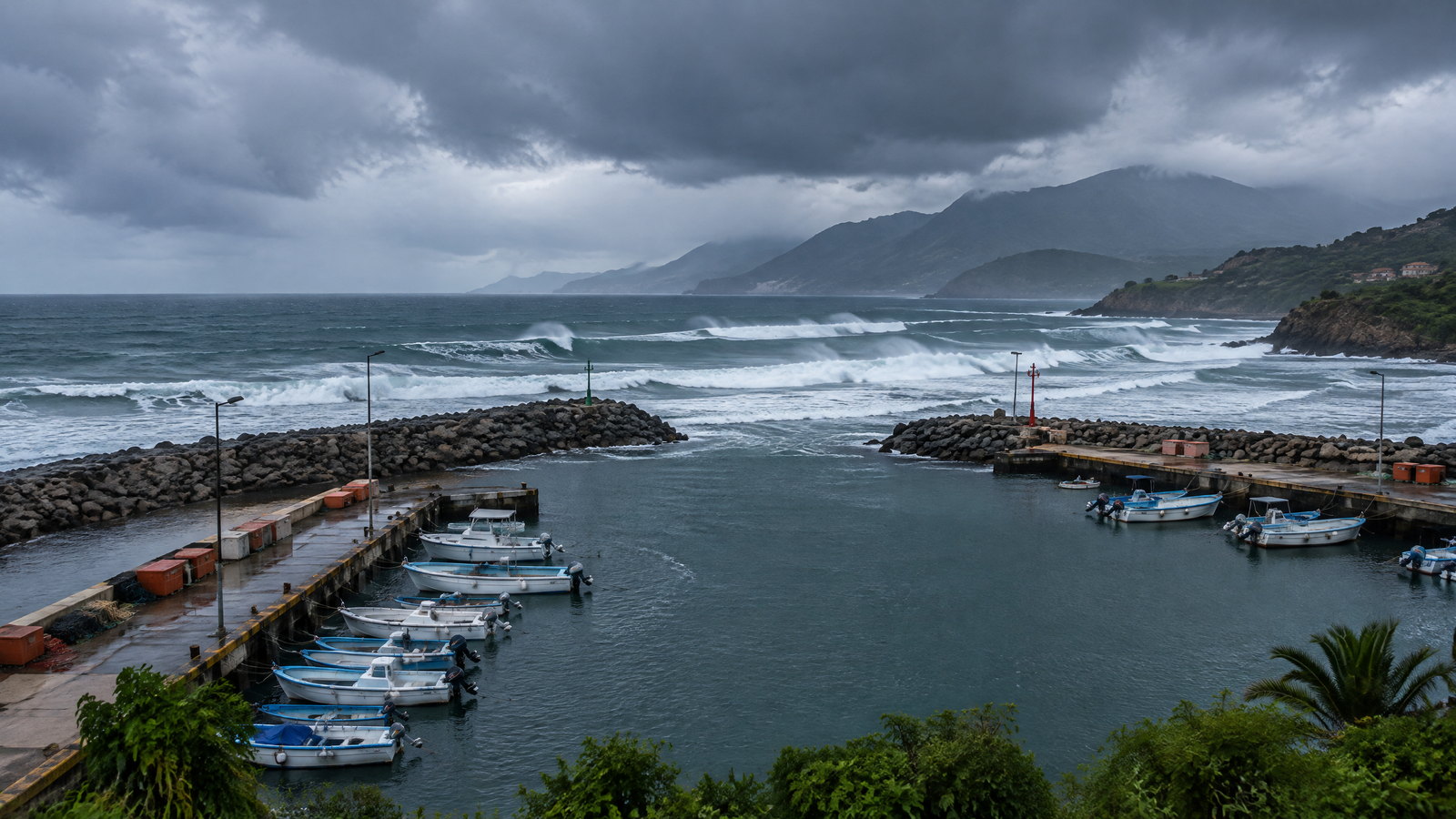
The federal communiqué's port closures and cancelled aquatic activities create the clearest immediate restriction. They also require precise wording. “Port closed” can mean closure to all navigation, closure to smaller vessels or a restriction that changes as the port captain updates conditions. The cited national notice did not publish a permanent, universal closure table for every port.
Therefore:
- do not assume a marina, fishing trip, island transfer or sightseeing boat will operate because a reservation remains visible;
- do not assume every cargo or passenger operation is stopped because one small-craft class is restricted;
- do not approach a port entrance, breakwater or rocky shoreline to watch the swell;
- do not use a local boat when the relevant maritime authority has suspended the activity;
- ask whether the operating port and vessel class are cleared, not merely whether the operator is answering messages.
Life-threatening surf and rip currents can be present well away from the cyclone center. Swell was expected to spread along west-central Mexico and toward Baja California Sur. A beach without a visible barrier is not necessarily an open swimming area. Local red flags, lifeguards, civil-protection instructions and physical closures are the controlling signals.
For a broader method, see RAAHCHAL's coastal weather and sea-state guide.
Rain, slopes and inland connections
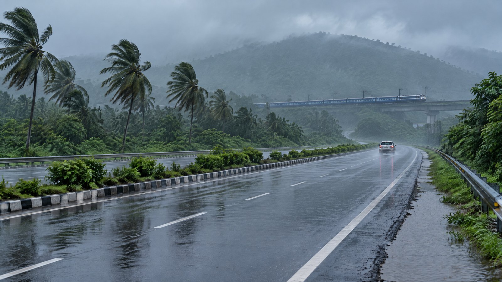
Polo's additional rainfall carried flood and mudslide potential, particularly in steep terrain. This matters because many coastal journeys use roads that climb quickly away from the shore. The most disruptive point may be an inland cut, bridge or low crossing rather than the beachfront.
A useful route check asks:
- Has the district or road authority reported flooding, debris or controlled passage?
- Can the driver complete the trip in daylight?
- Is there a safe waiting point before the exposed segment?
- Can the accommodation confirm that its normal access road is usable?
- Is the return route likely to face the same rain band later?
Do not cross moving water. Do not pressure a driver to continue because an airport arrival was on time. When visibility is poor or runoff is rising, postponement is a legitimate travel decision rather than a failed itinerary.
Polo also creates timing risk after the heaviest wind shifts offshore. Drainage, slope stability and road clearance lag behind the weather map. The rainy-day city itinerary can preserve a useful day only when the route to that indoor plan is safe.
Airports and long-distance transport
The cited sources did not announce a blanket airport closure. That absence must not be converted into a promise that every flight or transfer is operating normally. Airlines, airports, road authorities and local civil-protection offices make separate operational decisions.
Check the exact flight number, then check the road between the airport and the final stop. If a journey involves a domestic connection, bus and boat in one day, protect it with wider margins or divide it into stages. A delay on the first segment can turn a normally safe daylight transfer into an avoidable night journey.
Keep these distinctions clear:
- a hurricane advisory describes the hazard;
- a port captain or civil-protection notice controls a local restriction;
- a carrier controls its operation;
- a road authority controls road access;
- a hotel can confirm its property access but not the entire region.
RAAHCHAL does not link to booking or transport sellers. The Travel Basics desk provides decision tools without directing readers to a transaction.
A conservative traveler decision tree
Stay in place when local authorities advise reduced movement, the safe route is uncertain, or the next segment would place you on an exposed coast or slope after dark. Move only with verification when the exact service is confirmed, the route is open, weather timing is acceptable and there is a safe fallback. Change the plan when the activity depends on a closed port, suspended water use or dangerous surf.
Travelers with children, limited mobility, respiratory conditions or temperature-sensitive medication need more margin. A long roadside wait can be harmful even when the road eventually opens. Carry essential medication, water, food, power and offline identity details with you rather than in inaccessible luggage.
If accommodation is safe and stocked, an extra night can be more prudent than chasing a connection through deteriorating conditions. The purpose of a plan is to preserve choices, not to compel movement.
Practical checklist
- [ ] Read the newest official cyclone and civil-protection status before departure.
- [ ] Verify the exact port, vessel class and activity rather than asking whether “the port” is open.
- [ ] Check the exact flight, bus or road segment independently.
- [ ] Avoid beaches, breakwaters, rocky points and informal boat trips during dangerous swell.
- [ ] Plan daylight travel with a safe waiting option before any steep or flood-prone section.
- [ ] Carry water, food, medication, power and offline copies of essential travel details.
- [ ] Confirm accommodation access using the route you will actually travel.
- [ ] Recheck shortly before movement; closure scope can change within hours.
What this page does not claim
This article does not say that every Pacific coast destination is closed, that every flight is cancelled, or that Polo's core will make landfall at a particular place. It does not predict an exact reopening time. It does not replace an evacuation or shelter instruction.
It records the 24 September status: a powerful offshore hurricane, warning and watch areas, ongoing coastal hazards, and official restrictions on ports and water/recreational activity. Any later official notice should take precedence.
For more dated operational reporting, use the Field Notes desk. For RAAHCHAL's protected-source and correction standards, read the editorial policy.
Status note
Verified against NHC Hurricane Polo Advisory 16 and Mexico's federal inter-agency response communiqué dated 24 September 2026. The advisory said the core was starting to move away, while rain, surf, flooding and warning-area conditions remained active. Mexico's federal notice confirmed port closures and cancelled aquatic and recreational activities but did not define one permanent rule for every coastal facility.